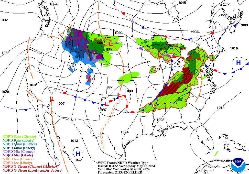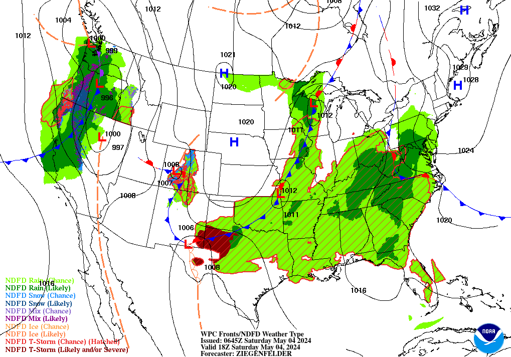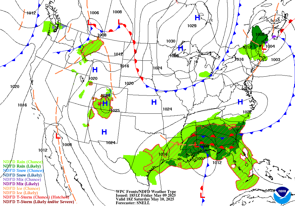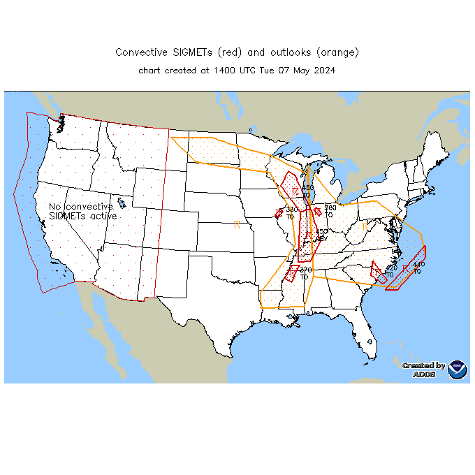
Severe thunderstorms are expected from central Texas to middle Tennessee and Kentucky this afternoon into tonight. Large hail and damaging winds are the main threats. Heavy to excessive rainfall may produce areas of flooding today and tonight from central Texas into the lower Mississippi Valley.
Memphis
Center Weather Service Unit
| HSV TRACON Situational Awareness Display/Web Brief |


|
|
|
|
|
|
Latest Winds/AIRMETs/TSTM Forecasts Allow a few seconds to load--hit refresh to update.
Current Products Issued by CWSU Memphis
WATCHES, WARNINGS, CLIMATE
Current Northern AlabamaWatches and Warnings Severe Weather Current Warnings in effect
˛©ĚĺÓý
Memphis
3229 Democrat Road
Memphis, TN 38118
Comments? Questions? Please Contact Us.


