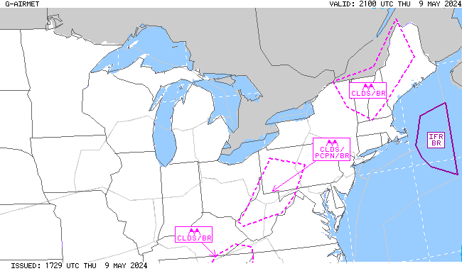
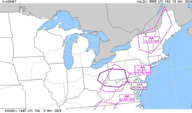
.AVIATION /20Z SATURDAY THROUGH THURSDAY/...
Through 18Z Sunday...A very challenging aviation fcst for the
next 6 to 12 hours with changeable conditions anticipated. For
example SLK went from LIFR cigs to VFR in the past 10 minutes,
so expect bouncing cigs/vis conditions at many of our sites this
aftn into the evening hours. Highest probability of IFR
conditions wl be at Rutland associated with block northerly flow
down the Champlain Valley, with intervals of IFR cigs likely at
SLK/MPV and BTV thru this aftn with mostly a mix of VFR/MVFR at
MSS/PBG and EFK. As additional rain redevelops toward midnight
tonight, along with light and variable winds, expect widespread
IFR cigs with potential for LIFR cigs at RUT/SLK and MPV. These
conditions should prevail thru 12z, before slowly lifting on
Sunday to a mix of MVFR/IFR. Given the clouds/precip, thinking
fog is unlikely attm, but some reduction in vis btwn 1-3SM is
possible in -ra/mist overnight.

Outlook...

Sunday Night: Mainly VFR, with local MVFR possible. Chance SHRA.
Monday: Mainly VFR, with local MVFR possible. Chance SHRA.
Monday Night: Mainly VFR, with areas MVFR possible. Chance SHRA.
Tuesday: Mainly VFR, with local IFR possible. Likely SHRA.
Tuesday Night: MVFR/IFR conditions possible. Chance SHRA, Slight
chance TSRA.
Wednesday: Mainly MVFR, with local IFR possible. Likely SHRA,
Slight chance TSRA.
Wednesday Night: Mainly MVFR, with local IFR possible. Chance
SHRA.
Thursday: Mainly MVFR, with areas VFR possible. Chance SHRA.
Click on Radar and Satellite images below for a loop.
|
Radar Loop
|
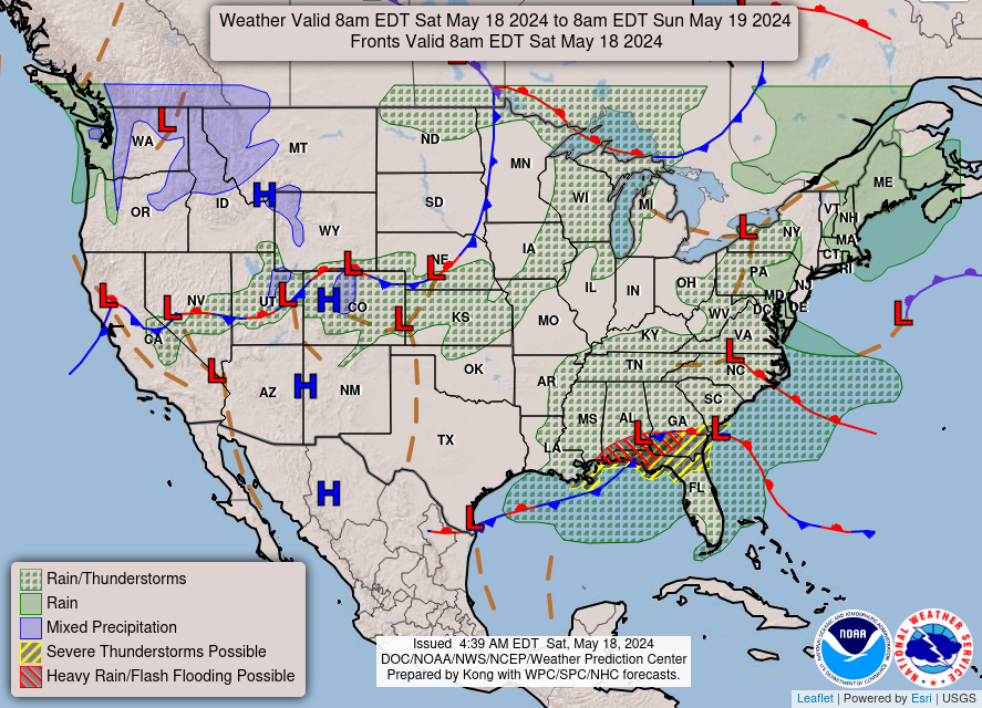
Current Weather Map
|
|
Visible Satellite Loop
|
Infrared Satellite Loop
|
|
Expected Snowfall
|
Expected Ice Accumulation
|
Click on images below to enlarge.
|
Radar Loop
|
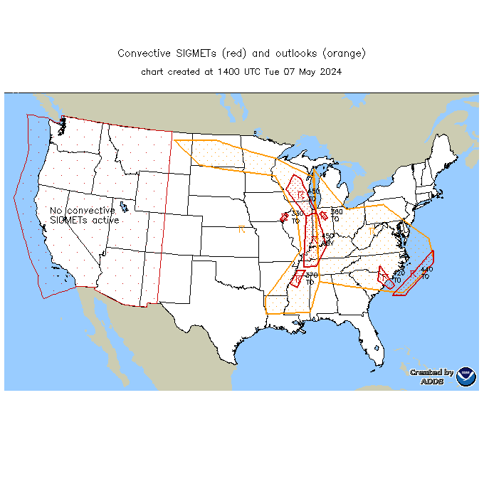
Convective SIGMETs
|
TFM Convective Forecast (TCF)
|
|
SPC Day 1 Convective Outlook
|
SPC Day 2 Convective Outlook
|
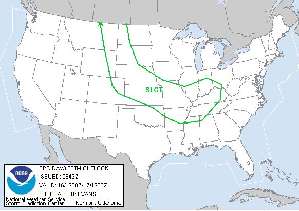
SPC Day 3 Convective Outlook
|
|
Current Icing SIGMETs
|
CIP/FIP Icing Guidance
|
|
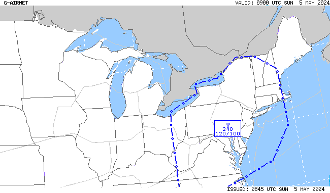
00-03 hr Icing AIRMETs
|
03-06 hr Icing AIRMETs
|
|
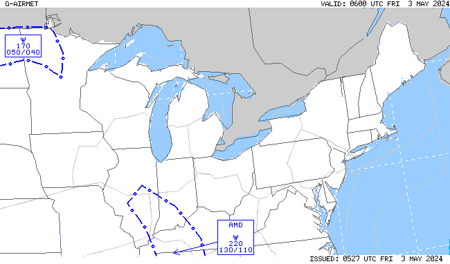
06-09 hr Icing AIRMETs
|
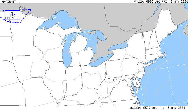
09-12 hr Icing AIRMETs
|
|
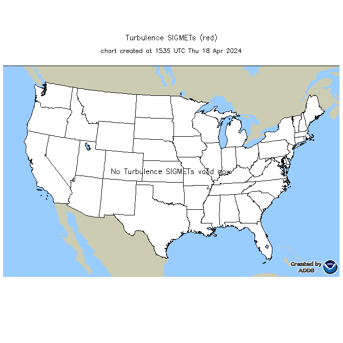
Current Turb SIGMETs
|
Turbulence Guidance (GTG)
|
|
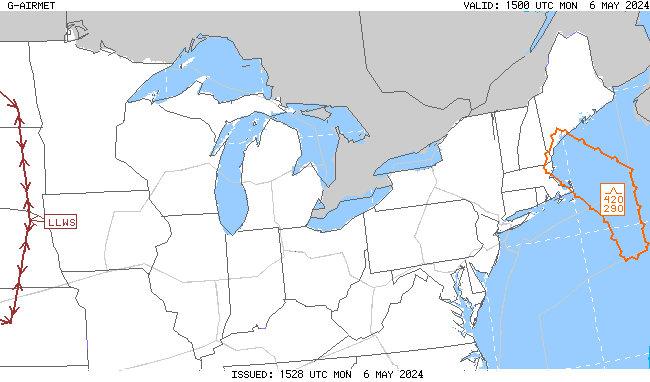
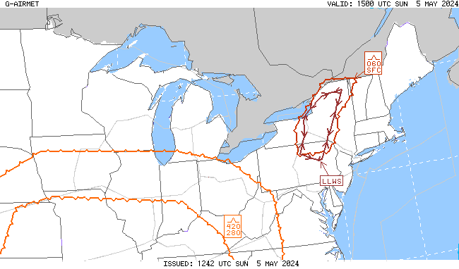
00-03 hr Turb/LLWS AIRMETs
|
03-06 hr Turb/LLWS AIRMETs
|
|
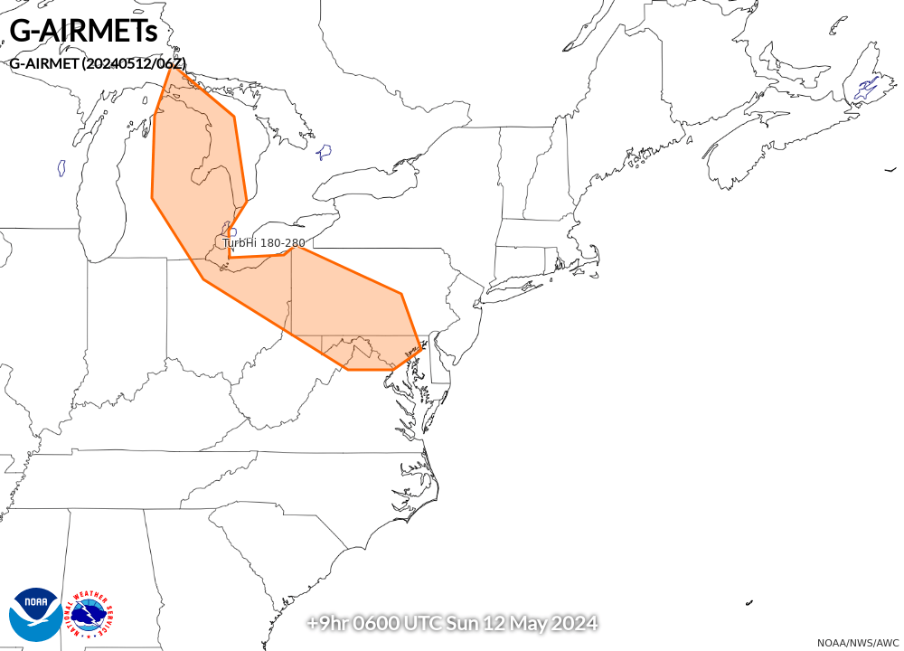
06-09 hr Turb/LLWS AIRMETs
|
09-12 hr Turb/LLWS AIRMETs
|
|
00-03 hr Visibility AIRMETs
|
03-06 hr Visibility AIRMETs
|
|
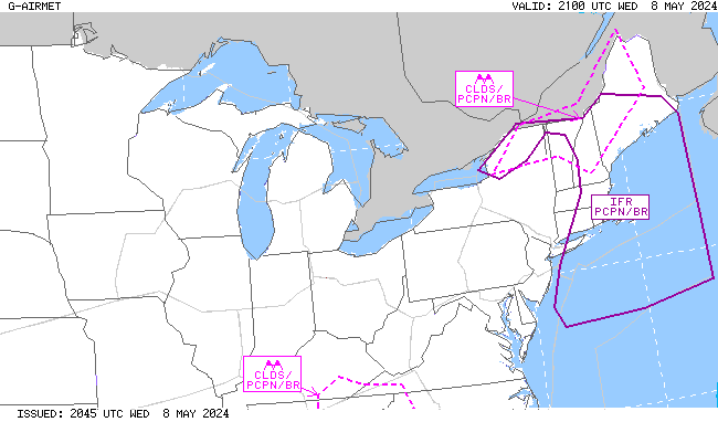
06-09 hr Visibility AIRMETs
|
09-12 hr Visibility AIRMETs
|