

Severe thunderstorms are expected from central Texas to middle Tennessee and Kentucky this afternoon into tonight. Large hail and damaging winds are the main threats. Heavy to excessive rainfall may produce areas of flooding today and tonight from central Texas into the lower Mississippi Valley.
| Click anywhere on the map for the forecast. Turn "on and off" the various weather parameters using the display options. Hover over a highlighted area to see the hazard. | Map Display Options |
|
|
|
| La Crosse | Other Local Radars | ||||
STANDARD /  |
 |
 |
 |
||
 |
 |
 |
|||
 |
|||||
| Today's reports | Yesterday's reports | |
|
 |
 |
| Storm Prediction Center: Day 1 Severe Outlooks - | ||||||
Today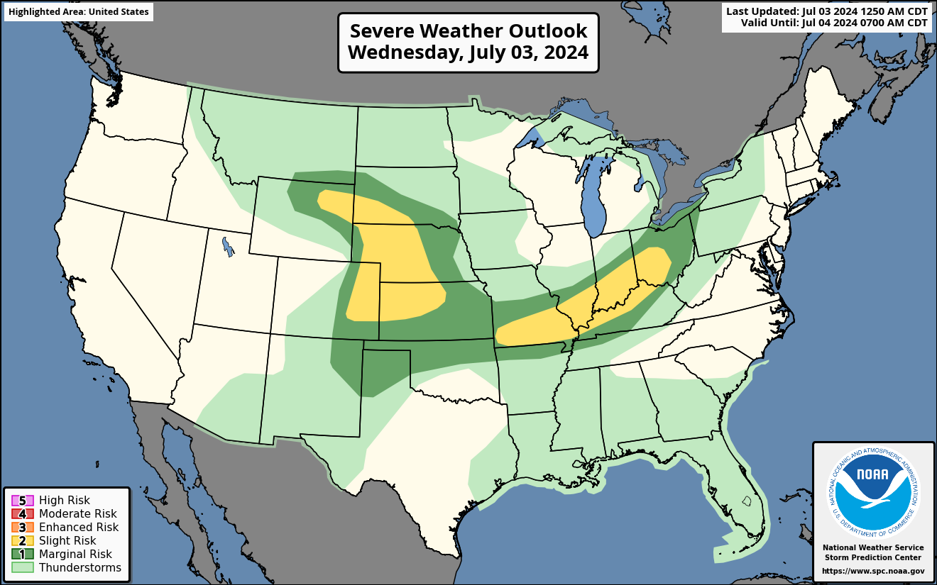 |
Hail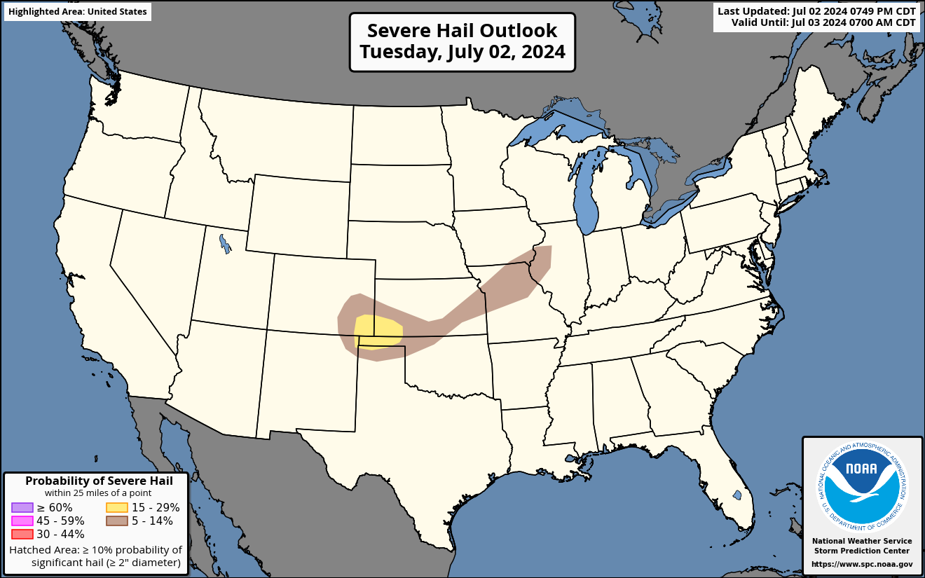 |
Wind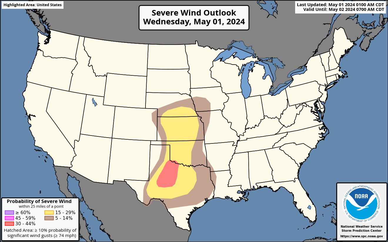 |
Tornado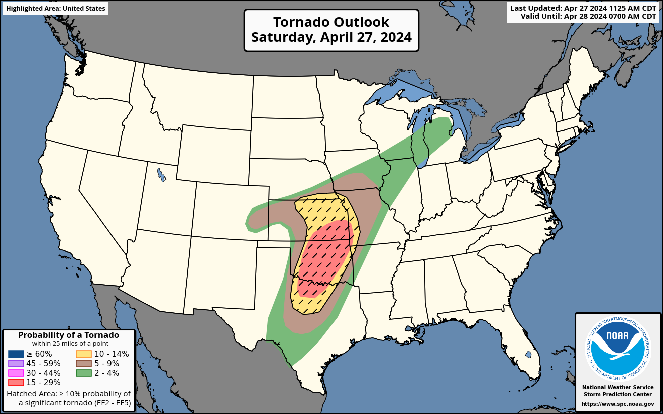 |
|||
| Storm Prediction Center: Day 2 Severe Outlooks - | ||||||
 |
Hail
 |
Wind |
Tornado |
|||
| Storm Prediction Center: Day 3 - 8 Severe Outlooks - | ||||||
 [] |
Probabilities
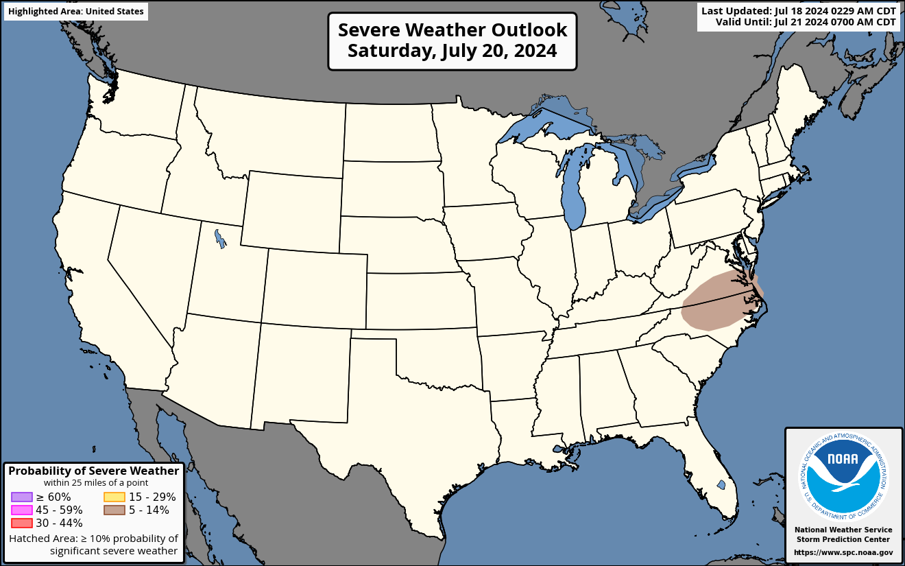 [] |
Days 4-8 [] |
All Outlooks |
|||
|
||||||||||||||||||||
| Storm Prediction Center: Advanced Tools | ||||||
| Upper Air | Soundings | Short Range Ensemble | SREF Plumes | High Rez Ensemble | Analysis | Climatology |


